
Find Your Next Home in West Hartford
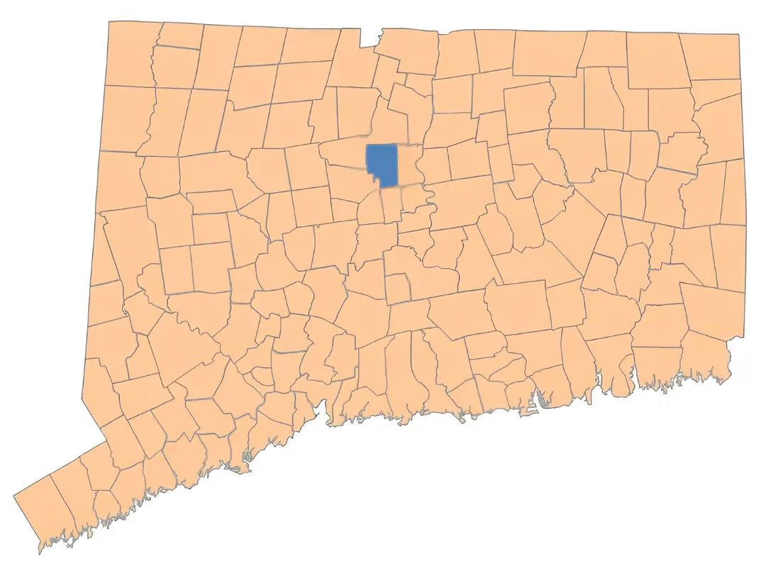
West Hartford, CT Real Estate & Homes for Sale
West Hartford combines established residential neighborhoods with walkable town centers, shopping, dining, parks, and convenient access to Hartford and surrounding communities. Explore West Hartford homes for sale, current market activity, neighborhoods, and local resources to get a better feel for living and buying a home here.

West Hartford Real Estate
Current Market Snapshot
Live residential listing activity across West Hartford.
Understanding West Hartford
Elementary School Districts & Housing
West Hartford's elementary school districts provide a useful way to understand the geography and housing patterns found throughout town. Because different parts of West Hartford developed during different periods, certain architectural styles, lot sizes, and street patterns tend to appear more frequently in different areas.
West Hartford Elementary School District Map
See the official West Hartford Public Schools attendance areas.
View Official District Map →See the official West Hartford Public Schools calendar for school dates, holidays, and scheduled breaks.
View West Hartford School Calendar → 
Aiken Elementary
North-Central • King Philip Area
1950s • Colonials & Ranches
View District Details
Aiken Elementary
North-Central • King Philip Area

Braeburn Elementary
West-Central • West of the Center
1930s–1950s • Colonials, Ranches & Mixed Styles
View District Details
Braeburn Elementary
West-Central • West of the Center
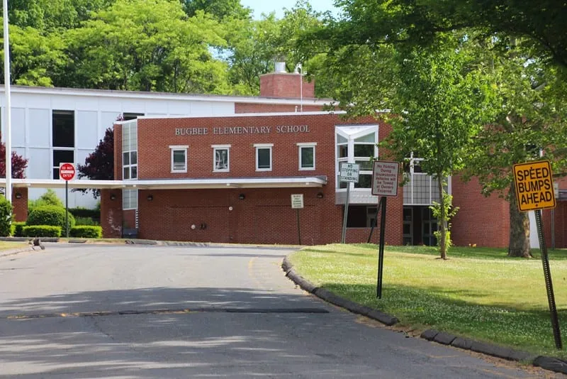
Bugbee Elementary
North-Central • Asylum Avenue / Fern Street
1950s • Colonials, Ranches & Capes
View District Details
Bugbee Elementary
North-Central • Asylum Avenue / Fern Street
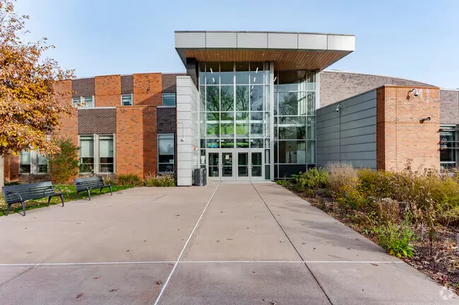
Charter Oak International Academy
Southeast • Oakwood Avenue Area
1920s–1930s • Older, Denser Housing Mix
View District Details
Charter Oak International Academy
Southeast • Oakwood Avenue Area

Duffy Elementary
Southwest • Westminster / Sedgwick Area
1940s–1960s • Colonials, Ranches & Capes
View District Details
Duffy Elementary
Southwest • Westminster / Sedgwick Area
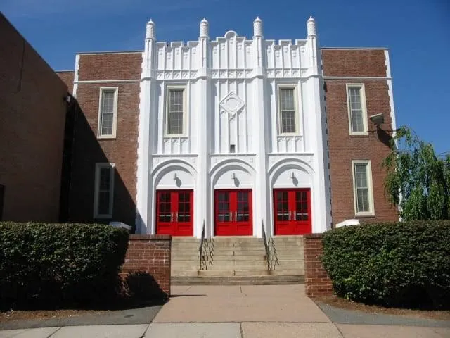
Morley Elementary
East-Central • Fern Street / Bretton Road
1920s–1940s • Colonials & Older Homes
View District Details
Morley Elementary
East-Central • Fern Street / Bretton Road
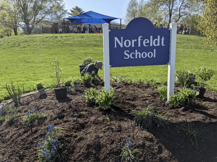
Norfeldt Elementary
Northwest • West of North Main Street
1950s–1960s • Colonials, Ranches & Split-Levels
View District Details
Norfeldt Elementary
Northwest • West of North Main Street
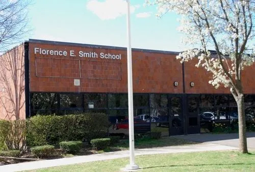
Smith STEM
Southeast-Central • St. James / South Quaker Lane
1920s–1940s • Colonials, Capes & Older Homes
View District Details
Smith STEM
Southeast-Central • St. James / South Quaker Lane
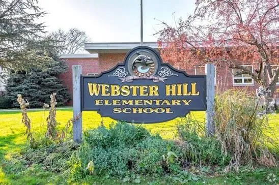
Webster Hill Elementary
Southwest • Webster Hill / South Main Street
1940s–1950s • Colonials, Capes & Ranches
View District Details
Webster Hill Elementary
Southwest • Webster Hill / South Main Street

Whiting Lane Elementary
Central-East • Whiting Lane / Farmington Avenue
1920s–1950s • Diverse Older Housing
View District Details
Whiting Lane Elementary
Central-East • Whiting Lane / Farmington Avenue

Wolcott Elementary
Southwest • Wolcott Road / Elmfield Area
1940s–1960s • Capes, Ranches & Colonials
View District Details
Wolcott Elementary
Southwest • Wolcott Road / Elmfield Area
School attendance boundaries and assignments are determined by West Hartford Public Schools and may change. Buyers should verify the school assignment for any specific property directly with West Hartford Public Schools. Fair Housing laws and professional real estate guidelines limit the school-related information real estate professionals can provide, including opinions or rankings of schools. We encourage buyers to review school information and other factors important to them using independent sources.
Looking at a Home in West Hartford?
School boundaries can be surprisingly specific, and West Hartford's housing can vary considerably from one part of town to another. The Miale Team can help you understand the area around a particular property and point you toward the right resources for verifying school assignments.
Contact The Miale Team